Oil settles more than $3 higher amid Middle East supply concerns
Brent gained 3.14% and U.S. crude rose 3.8%, while the United States authorized an emergency oil exchange from its strategic reserve.

The program combines a digital map, laboratory testing and farmer training to help guide fertilizer use and soil management.
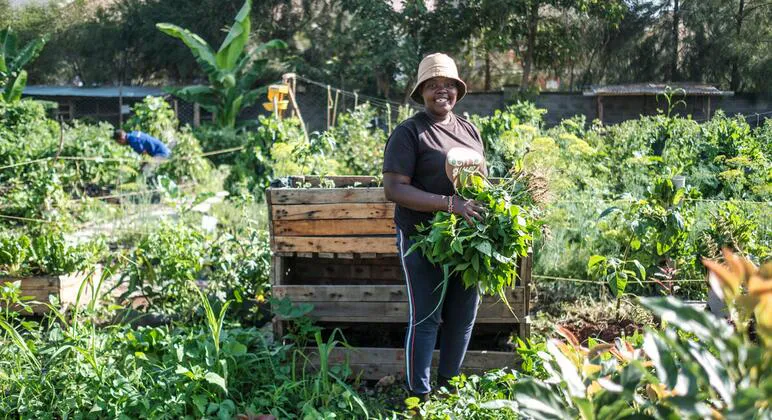
A soil-mapping initiative in Kenya has gathered more than 3,600 samples across 45 counties, feeding a digital map intended to help farmers choose fertilizers and determine application amounts based on local soil conditions.
The UN Food and Agriculture Organization (FAO) and the Kenya Agricultural and Livestock Research Organization (KALRO) jointly launched Soil Mapping for Resilient Agrifood systems (SoilFER) in Kabete. Japan and the United States Department of State provided financial support.
KALRO has upgraded three laboratories with FAO assistance, adding equipment to analyze samples from around Kenya. Each sample is tied to a geographic location, and farmers receive the results on their mobile phones.
The initiative also teaches selected farmers to recognize and remedy soil degradation, then share those skills with peers. Participant Agness Munialo, a farmer in Kakamega county, said the training was improving rural farmers’ understanding of fertility, pH levels and soil composition.
Agriculture Cabinet Secretary Mutahi Kagwe urged agricultural institutions to work together more closely and exchange information. The launch event also introduced the Kenya Soil Partnership and Kenya Soil Laboratory Network, and began the nationwide rollout of the Global Soil Doctors Programme.
Beyond Kenya, SoilFER operates in Zambia, Tunisia, Mozambique, Honduras, Guatemala and Ghana.